Jykan WaterFlood hazard and climate risk

Projects

Jykan Water's own contracts first, then the flood hazard and risk work Reza Najafi has led through Western University. Clients are described rather than named; references are available on request.

Jykan Water contracts

What the firm has delivered

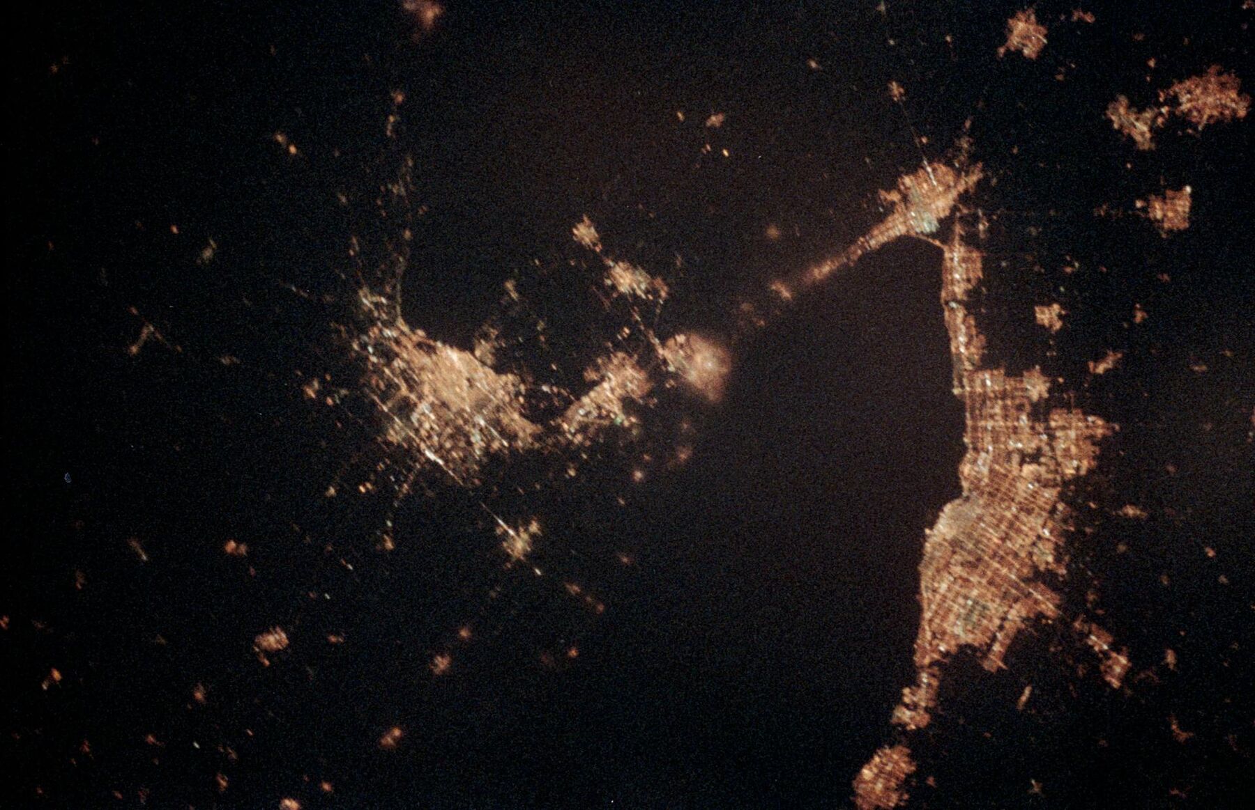
Toronto, Buffalo and Niagara Falls at night photographed by astronauts
The Greater Toronto Area and Niagara at night, seen by astronauts. Image: NASA
Project received an Award of Distinction, 2025 Ontario Engineering Project Awards (ACEC-Ontario)

Climate basis for a regional flood risk assessment model

Sub-consultant to the prime engineering firm for a regional municipality north of Toronto. Three phases, 2023 to 2024.

The region wanted climate considerations built into asset decisions, through a geospatial risk model that scores 100-hectare hexagons across its green, grey and blue infrastructure and identifies the highest-risk zones. Jykan Water supplied the climate basis: selection of CMIP6 and NA-CORDEX models, the timing at which each model reaches 1.5, 2 and 3 degrees of warming, projections of flood-related climate indices, and a separate set of indices for the growth, health and pest susceptibility of the region's 78,000 street trees and regional forest.

Jykan Water's part
Climate model selection, warming-level timing, projected climate indices, contributions to three technical memoranda, presentations to regional staff
Project outcome
The prime consultant's integrated assessment ranked twenty priority zones and developed recommendations for five; our climate analysis informed that assessment
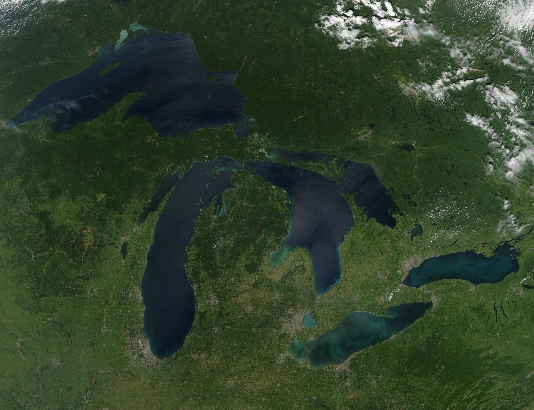
Cloud-free satellite view of the Great Lakes
The Great Lakes basin from orbit on a cloud-free day. Image: NASA Goddard

Daily climate projections for the Great Lakes and St. Lawrence basin

For a federal climate science department. Fixed-price contract, completed March 2023.

The client needed a consistent set of daily future climate data covering the Canadian and American sides of the basin. We selected eight CMIP6 models using two published criteria: representation of the overall CMIP6 ensemble over eastern North America, and inclusion of the Great Lakes in the model's land surface. Five variables (precipitation, maximum and minimum temperature, and both wind components) were bias-corrected with the multivariate MBCn method against the client's chosen observational grid, for SSP2-4.5 and SSP5-8.5, covering the historical period from 1950 and projections to 2100.

The evaluation in scope compared seasonal and monthly climatology against observations over the historical period; change maps were produced at fixed warming levels. Evaluation of daily extremes and compound behaviour was outside the contract and is not claimed.

Delivered
Gridded daily dataset, evaluation report, warming-level change analysis
Team
Reza Najafi with one research associate engaged for the contract
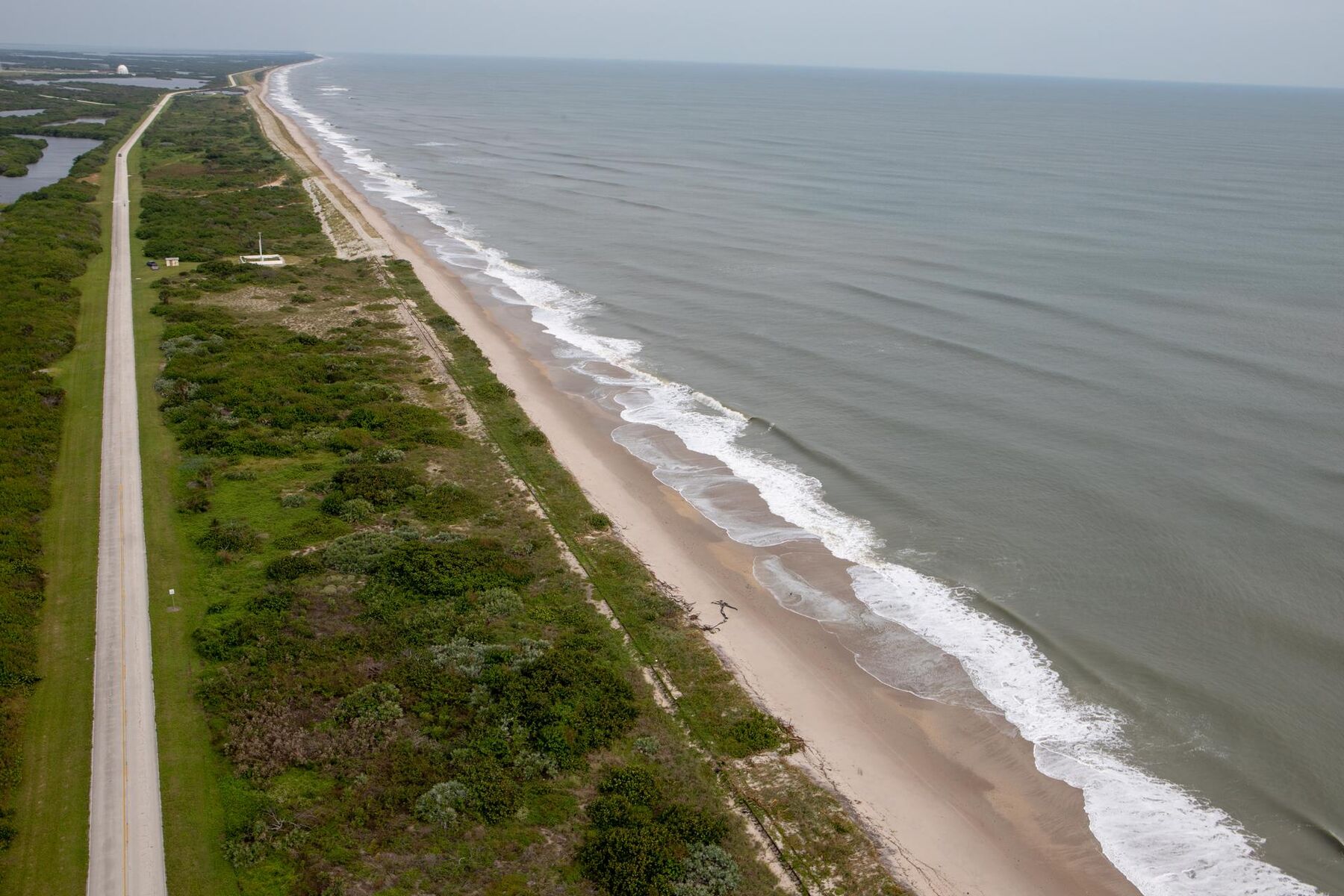
Aerial view of a barrier beach and eroded dunes after Hurricane Dorian
Beach and dunes surveyed from the air after Hurricane Dorian, 2019. Image: NASA

Implementation guide for a national coastal flood risk standard

For a national standards development organization. 2024 to 2025

A Canadian standard sets out how coastal flood risk should be assessed for buildings and infrastructure; the organization needed a guide showing practitioners how to apply it. Jykan Water contributed technical content on the hazard chain (still water level, storm surge, wave setup and runup, sea-level and lake-level change), on combining drivers that occur together, and on carrying hazard through exposure and vulnerability to risk, with worked examples.

Jykan Water's part
Drafted technical sections, worked examples, and technical review across the guide's development
Format
Contractor agreement with the standards organization

Track record through Western University

Flood hazard and risk work led by the principal

Carried out through Western University, not through Jykan Water, and governed by the university's agreements. Listed because the methods are the ones the firm applies, and so you can judge the depth behind them.

Applied projects

  • Flood risk assessment for Saint Lucia, as technical lead with an industry risk partner (2019 to 2020)
  • Analysis of the hydroclimatic drivers of extreme maximum flow in the Lake Winnipeg watershed, as technical lead for a federal department (2020 to 2021)
  • Climate resilience of small and medium dams and levees in Canada, and projected climate data for dam design, under research contracts with a federal research council (2021 to 2025)
  • Compound coastal and inland flooding across Canada under a federal flood hazard identification and mapping program (ongoing)
  • Climate-adjusted IDF curves for a town in the Greater Toronto Area from multi-source precipitation data (in progress, 2025 to 2026)
  • Reviews of stormwater modelling and climate change practice for a large Canadian city's water utility (2023)
  • Hail and wind-driven hail hazard within a national hail research project, and an evaluation of cloud seeding and hail damage for a disaster loss research institute
  • The climate change and coastal flooding component of an international resilience project with partners in Cuba and Indonesia

Advisory and standards roles

  • Advisory committee member for a national flood risk modelling tool (2020 to 2021)
  • Lead author on Canada's national climate assessment, writing the flood section of the freshwater chapter and contributing to the extremes chapter
  • Contributor to a professional-society manual of practice on compound flooding for engineers
  • Developer of the flood risk module in a cross-university course on engineering in a changing climate

Earlier engineering practice

  • Hydraulic modeller on physical and numerical models of bottom outlets and spillways for three major dams, and hydraulic design consulting for a water transfer tunnel and an industrial outfall (2006 to 2009)

Want a project sheet matched to your RFP?

Ask and we'll send the relevant experience, with client contacts where permitted